
High up in the atmosphere, there's a ring of cold air swirling over the Arctic that can intensify, weaken, and shapeshift through the seasons. This is the polar vortex.
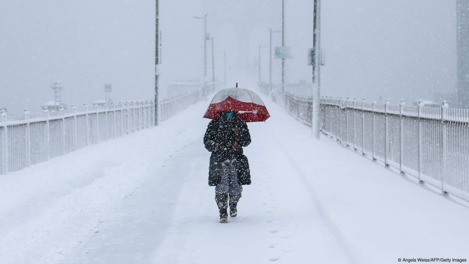
If it gets disrupted, this twisting pool of chilly air can influence the weather we experience, increasing the risk of a cold snap in the Northern Hemisphere.
Current observations show the vortex has weakened unprecedentedly early this year, with its winds reversing directions.
It's not yet clear how the current disruption to the polar vortex will affect the Northern Hemisphere winter, but scientists agree it is a record-breaking event.
"As far as we know, this is the earliest stratospheric vortex disruption that has been observed," European Centre for Medium-Range Weather Forecast (ECMWF) principal scientists Tim Stockdale and Frederic Vitart told the AFP news agency.
The French meteorological agency Meteo-France, meanwhile, called it "an unprecedented event."
The early breakdown of the vortex "really increases the chance of cold air outbreaks across the latitudes where most of the densely populated population centers are across the Northern Hemisphere, US, Europe and East Asia," Judah Cohen, a climatologist at the Massachusetts Institute of Technology told AFP.
The polar vortex is an enormous band of cold, low-pressure air that spins counterclockwise around the North Pole, about 10 to 50 kilometers (around 6 to 30 miles) above…
