
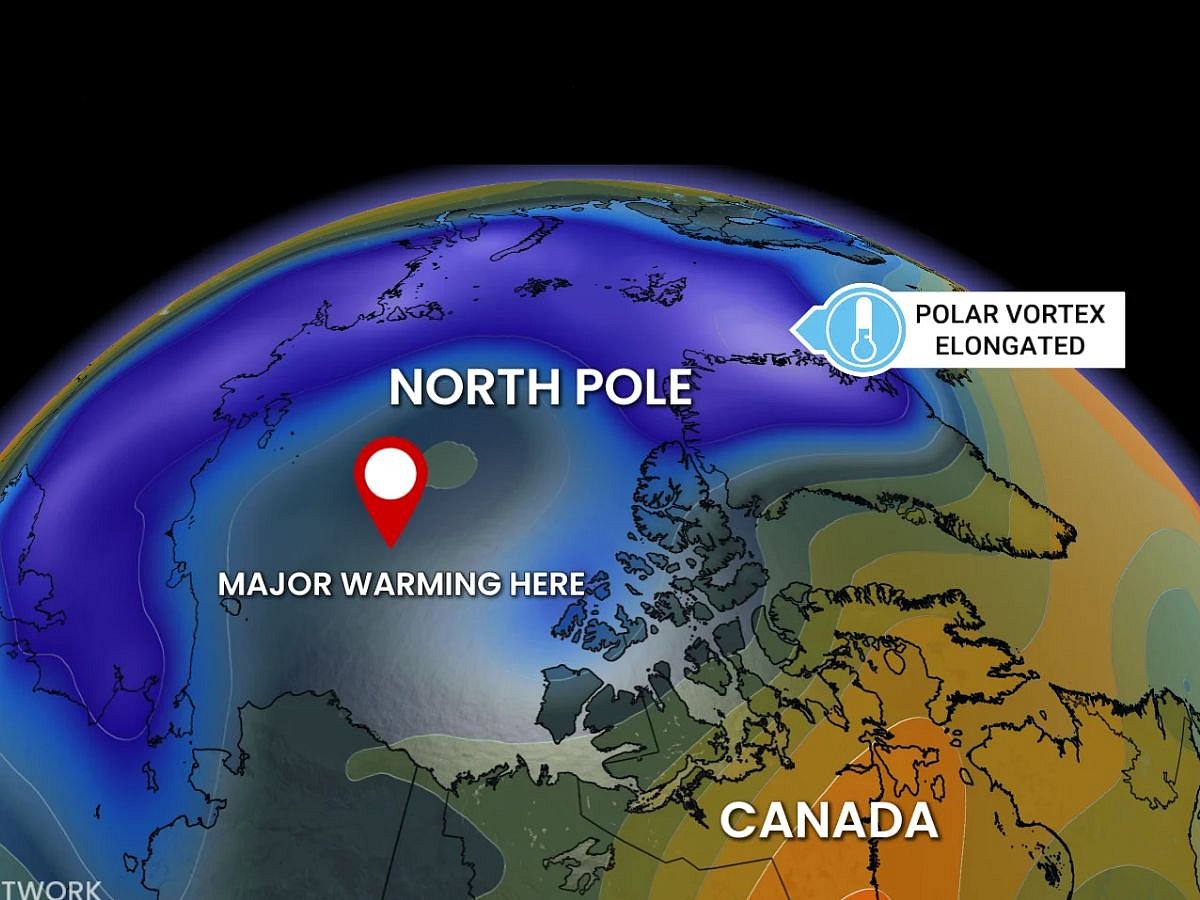
Powerful winds normally circle high above the Arctic North Pole each winter, helping contain some of Earth’s coldest air.
But this circulation, known as the "polar vortex", has "weakened" and shifted in recent days, say climate scientists.
'Unprecedented'
Now, Western news media are reporting, citing weathermen and scientists who say an event this early in November is "unprecedented" in modern observations.
Such disruptions can occur in winter.
Similar disruptions have sometimes been followed by colder weather in parts of Europe and North America. But with few early-season examples for comparison, forecasters face greater uncertainty about the winter outlook.
What is it?
The polar vortex is not a single storm. There are two related features often called the “polar vortex”: a tropospheric vortex near the surface and a stronger stratospheric vortex high above it.
The stratospheric version forms in winter because of the sharp temperature difference between the dark Arctic and warmer lower latitudes.
In general, the polar vortex is a vast, spinning pool of cold air high above the Arctic, held in place by westerly winds in the stratosphere.
A strong vortex tends to keep cold air locked around the pole.
When those winds "weaken" or "reverse", the vortex can become "distorted", allowing Arctic air to spill toward mid-latitudes.
